
Featured


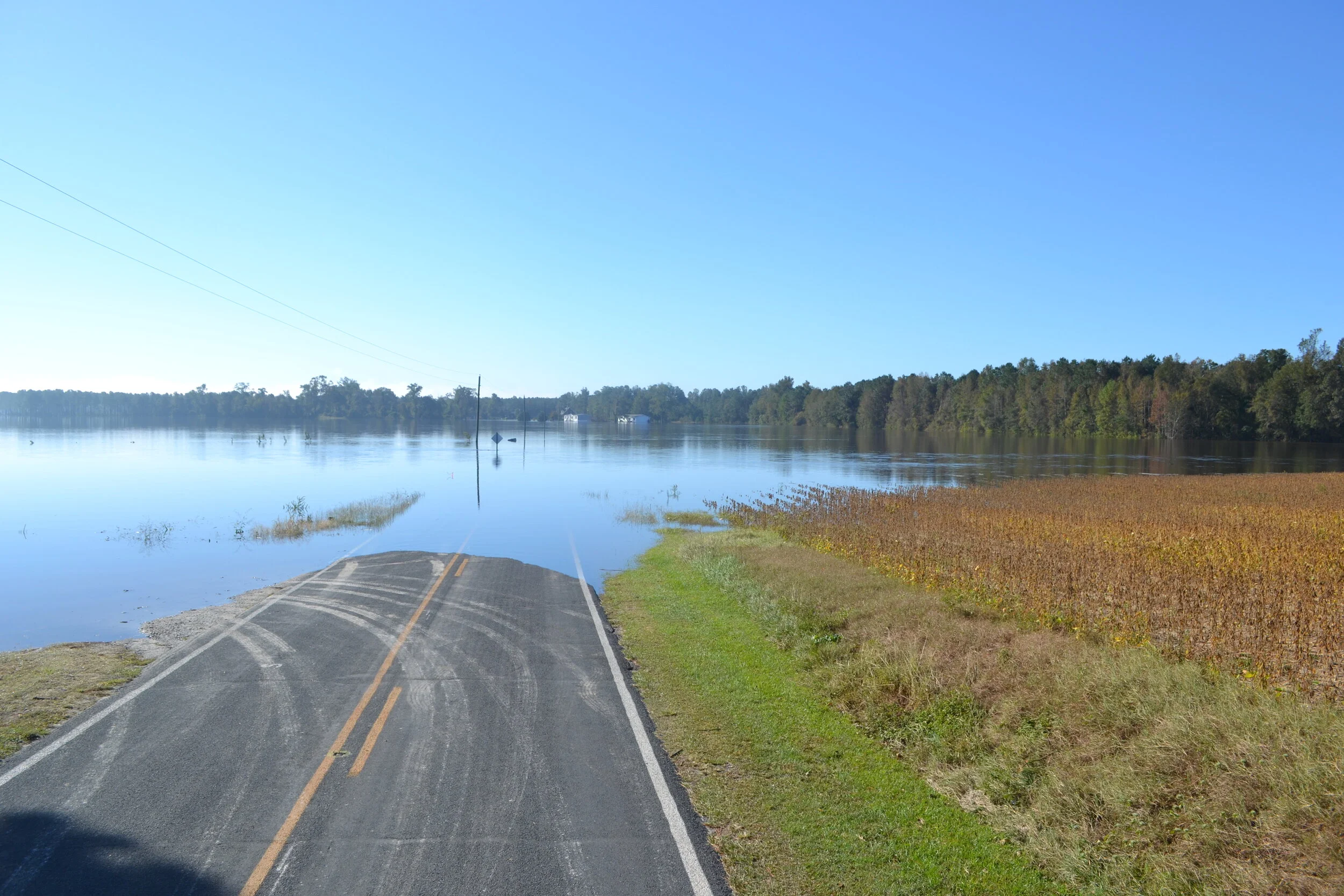


This studio aimed to boost resilience on Roanoke Island by reducing flood risks and enhancing safety and ecology in vulnerable town and county areas.
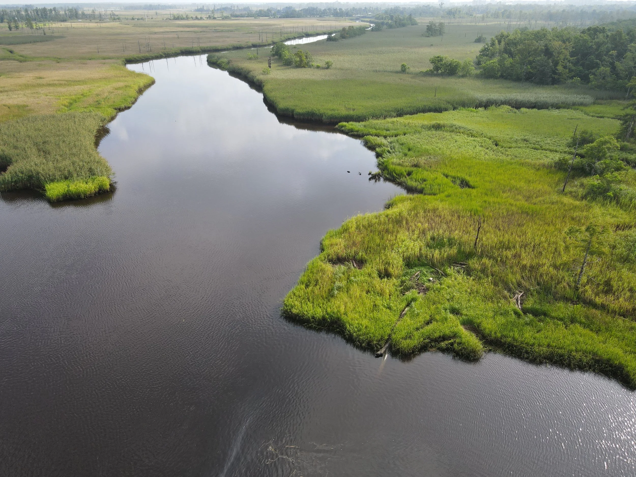
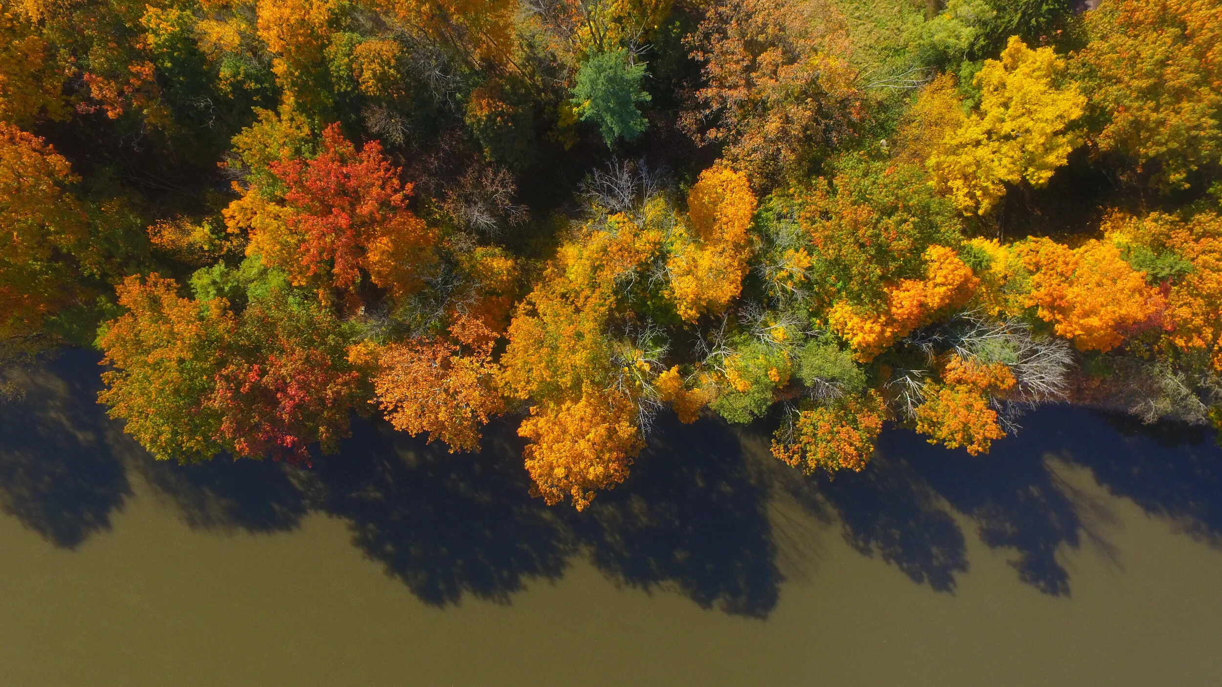
This studio aimed to enhance recreation, transportation, and economic opportunities while adapting parks, roadways, and amenities to address ecological challenges along the riverfront.
The Pollocksville Community Floodprint advances equitable, context-sensitive resilience as the town rebuilds after Hurricane Florence, unifying past studies, economic and land strategies, and townscape improvements.
This studio brought together landscape architecture and architecture students and faculty to collaboratively create projects focused on context-sensitive, climate-adaptive design and planning strategies for interdisciplinary learning.
The document, developed over 16 months, provides guidance on sustainable practices across focus areas and helps secure resources to support these actionable projects.
The Goldsboro Community Floodprint included inventory, analysis, public engagement, hydraulic modeling, schematic design, 3D modeling, rendering, benefit-cost analysis, and grant-writing in discrete project phases.
The Coharie Community Floodprint provides a framework for integrating initiatives and guiding flood mitigation, leveraging community input and analysis to attract investment for project implementation.
This Lenoir County Studio (Spring 2021) challenged students to research environmental, demographic, and climatic conditions in Lenoir County, NC to both inform and inspire novel approaches to disaster recovery and response in the rural context.
The 2022 Coastal Dynamics Studio involved students and faculty designing for coastal environments, collaborating with Wilmington stakeholders and Hanbury, through team and individual projects.
This project focuses on enhancing the existing practices and projects employed by NC Environmental Enhancement Grant Program (EEG) to provide co-benefits of improved water quantity, reduced flood damage, and enhanced resilience to disaster.
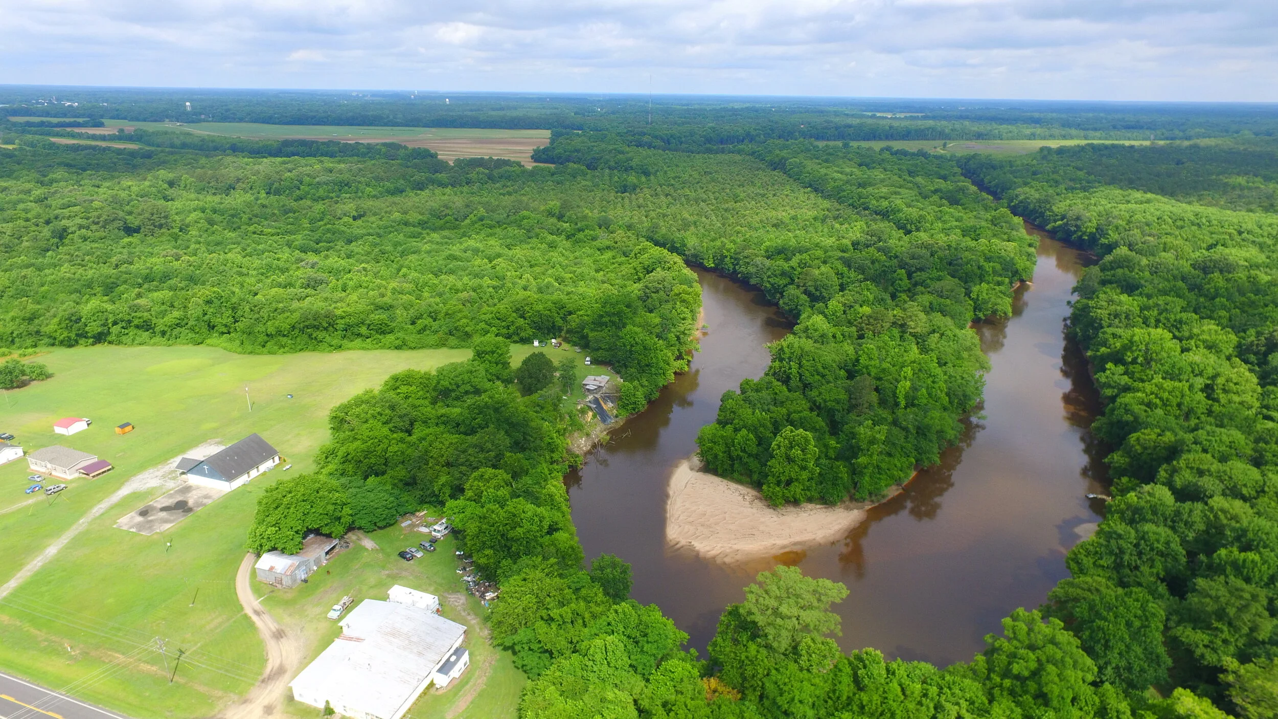
The purpose of this study was to assess the potential Conservation Purpose(s) of approximately 250 acres of undeveloped land in Beaufort, North Carolina.
This study focused on conservation easements and rural economic development, specifically an inland port and eco-industrial park, considering site assets and property owner interests.
The purpose of this research was to assess the potential for Conservation Purpose and Public Benefit as they were studied across the 16-acre tract located along Vestal Parkway and the Susquehanna River in Vestal, New York.
This study assessed the potential for conservation purpose, public benefit, and residential development on a 73.10 acre wooded tract located near Creedmoor, North Carolina.
Approaches to conservation planning and programming that support the responsible and sustainable stewardship of this property’s unique and high-value land and water assets.
The Greater Princeville report provides guidance for implementing a shared vision developed over 18 months of collaboration with NC State College of Design and Princeville stakeholders.
This study used “floodprinting”—an environmental and community planning method—guided by land and water relationships to help reimagine and rebuild flood-resilient Princeville.
Phase 2 of the Lumberton Floodprint included community meetings, hydraulic modeling, schematic design alternatives, and continued evaluation of hurricane impacts to inform restoration and future grant applications.
Student teams researched sea-level rise and proposed design strategies to improve the health, safety, and well-being of residents and coastal ecosystems.
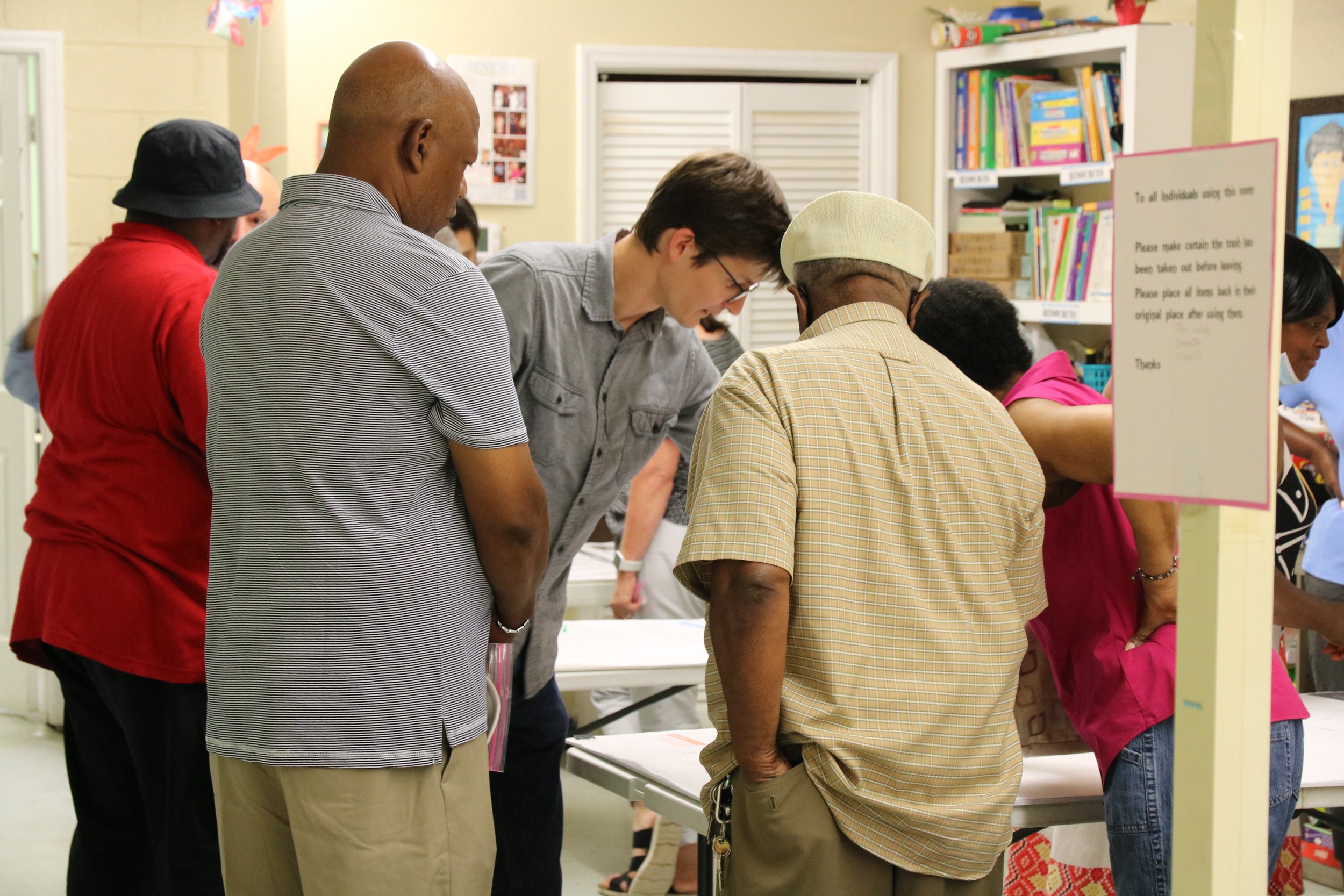
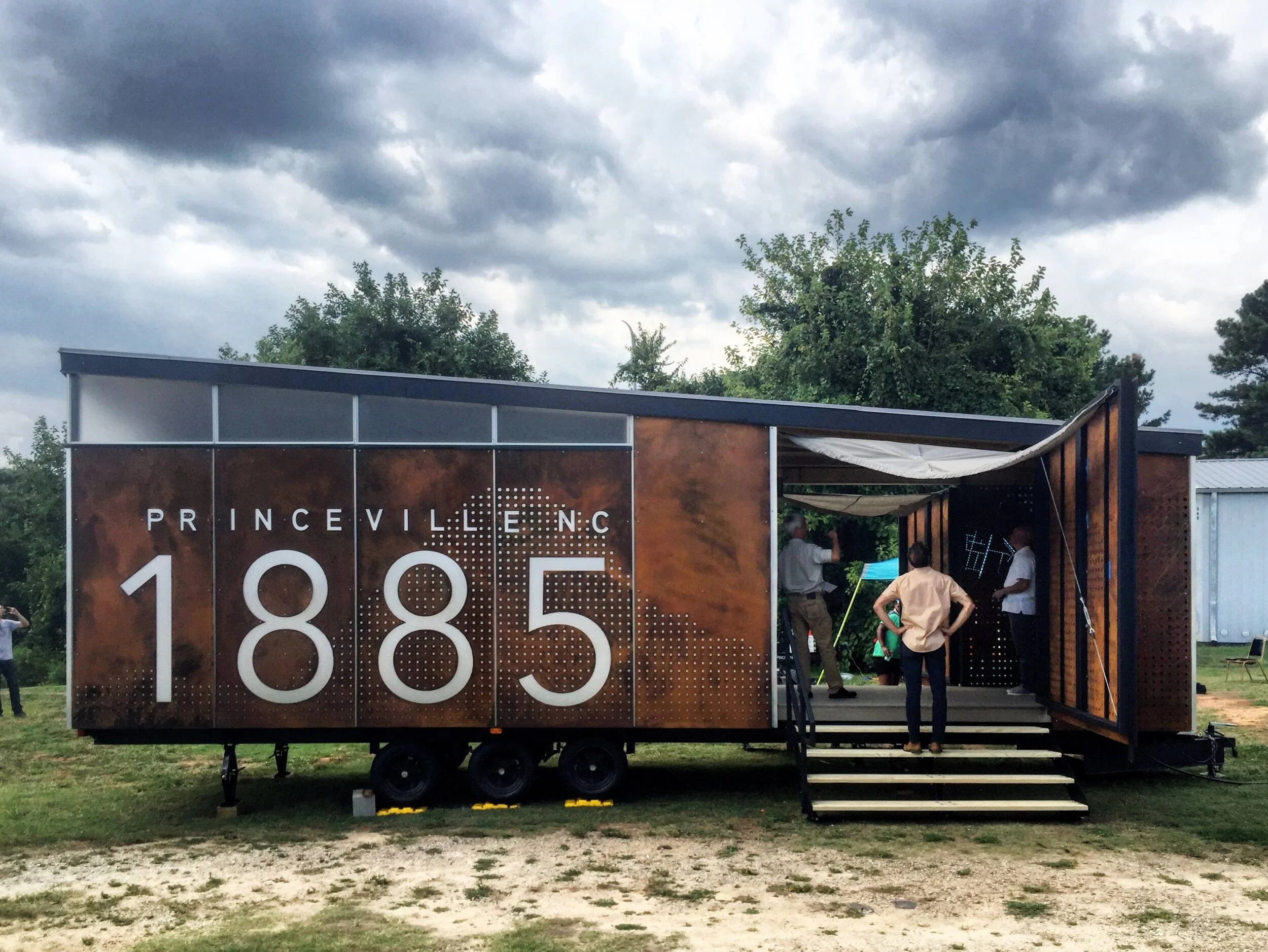
The 2019 Design+Build Summer Program created a mobile museum for Princeville, NC, to display temporary exhibits celebrating and honoring the town’s historic community.