


NC Riverine ResilieNCe Study
The CDDL conducted geospatial analysis to identify areas where strategic natural infrastructure practices can be located in the Neuse River Basin to reduce flooding and provide water quality and habitat improvement.
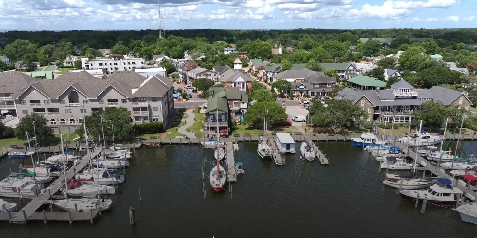
This studio aimed to boost resilience on Roanoke Island by reducing flood risks and enhancing safety and ecology in vulnerable town and county areas.
This studio aimed to enhance recreation, transportation, and economic opportunities while adapting parks, roadways, and amenities to address ecological challenges along the riverfront.
The Pollocksville Community Floodprint advances equitable, context-sensitive resilience as the town rebuilds after Hurricane Florence, unifying past studies, economic and land strategies, and townscape improvements.
The CDDL conducted geospatial analysis to identify areas where strategic natural infrastructure practices can be located in the Neuse River Basin to reduce flooding and provide water quality and habitat improvement.